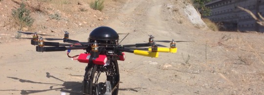
The new "drones" technology revolutionises conventional surveying
09 of October of 2014
This new technology has revolutionised conventional surveying. It’s environmentally-friendly, as it doesn’t produce CO2 emissions. It significantly improves worker safety, since they no longer have to enter hazardous areas. It increases the efficiency of construction processes, minimising costs and reducing execution times compared with traditional surveying.
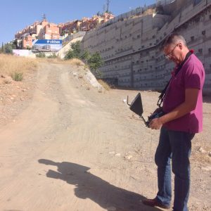
The first experimental flight with drones for land surveying took place as part of a Ferrovial Agroman project. The flight is part of the first phase of the innovation project being executed jointly by the Technical and Innovation Departments with a view to achieving a land surveying system with centimetre accuracy using Remotely Piloted Aircraft Systems (RPAS) in hard-to-access areas with vegetation cover.
The new Nuestra Señora de la Salud private hospital project in Granada was chosen to test the precision of using RPAS for surveying. Tests will be conducted in the near future in other linear infrastructure projects in which other uses will also be analysed. The Innovation Department aims to facilitate the use of these new processes in construction projects, eliminating the need for each division to research which commercial product best adapts to its needs.
The images obtained with the RPAS have been used to obtain a very accurate 3D point cloud as well as vectorial maps, metric orthophotography, and commercial photographs and videos. The project is currently in a second phase, in which another type of sensor will be used with a view to eliminating vegetation and trees from the digital model of the terrain.


There are no comments yet