Phoenix: a city returning to its greener past to cool the desert heat

03 of October of 2024
Hundreds of years before major cities in the United States even existed, the Hokokam people lived on the land irrigated by the Gila and Salado rivers, south of the Sonora desert. They developed complex irrigation systems and channels to nourish the soil ravaged by high temperatures and the lack of rain.
But how their story ended remains shrouded in mystery: they abandoned the area, most likely due to a succession of long droughts that made agriculture impossible. Hence the name that was given to them after the event: Hokokam, ‘the people who left’.
Today, the land of the Hokokam people is setting the tone in large cities such as Phoenix, where dealing with an extreme climate—the daily average temperatures exceed 38ºC for four months a year—is an everyday concern. The municipal government plans to fill the streets with green spaces in a bid to reduce temperatures and improve residents’ health.
The Phoenix plan
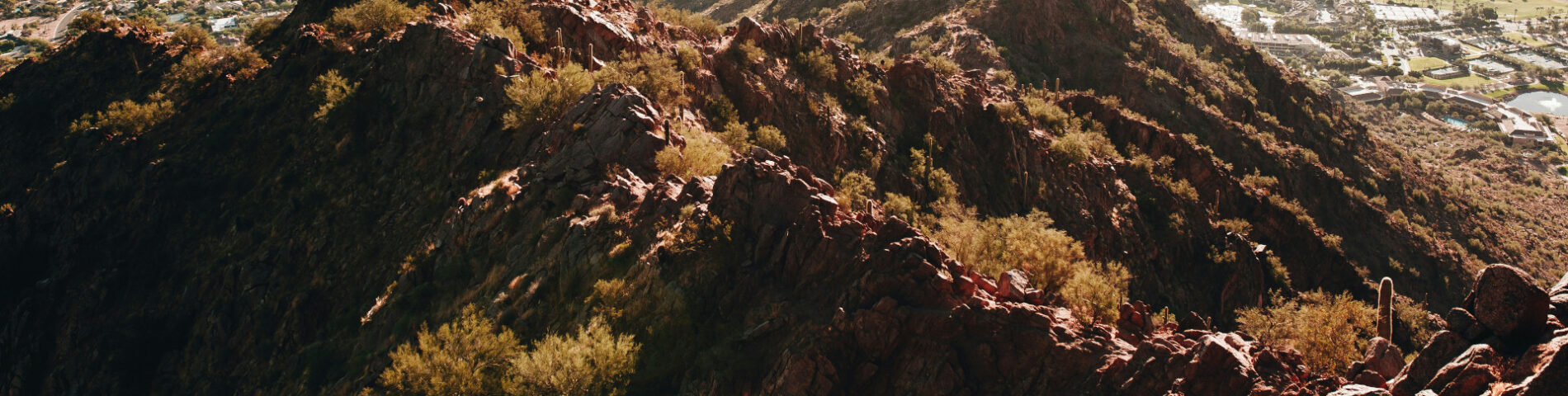
Phoenix is the largest city in the metropolitan area known as the Valley of the Sun in Arizona. At an altitude of around 340 meters above sea level, it rises up from the southern Sonora desert, with boundaries set by the Salado River, practically dry for much of the year.
At the beginning of the twentieth century, people living in Phoenix would use the little water they had (combined with the knowledge passed down by the Hokokam people) to maintain their trees and gardens. But when rapid urbanization swept through the area in the middle of the century, there was a significant reduction in green spaces.
Agricultural fields and land were replaced by large buildings and avenues, bringing with them an unintended consequence: an increase in temperature and the urban heat island effect. This phenomenon happens when materials in the city (like asphalt or bricks) accumulate heat throughout the day and release it during the night. It causes a significant difference in temperature between city centers and the peripheries.
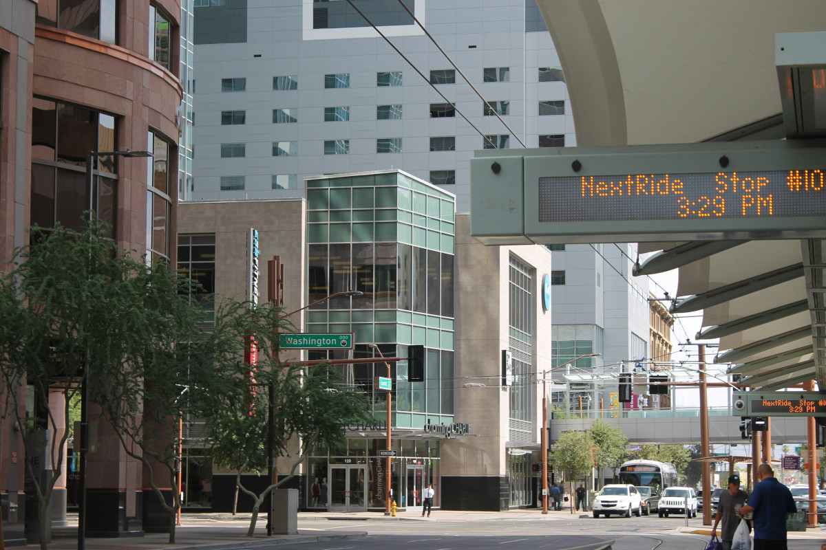
A street in Phoenix today. James Day (Unsplash)
One of the most effective ways of reducing urban heat islands is to fill cities with shade and vegetation. Which is precisely what’s included in urban plans for Phoenix: in 2010, the local government unveiled its Tree and Shade Master Plan, aiming to increase the size of the tree canopy in this area. At the time, just 12% of the city was forested, and the goal was to reach 25% by 2030.
Various public and private bodies, NGOs and the local population have all collaborated on the goal. Among other things, the collaboration has led to the production of specialist maps used to detect which zones need shade and tree cover the most.
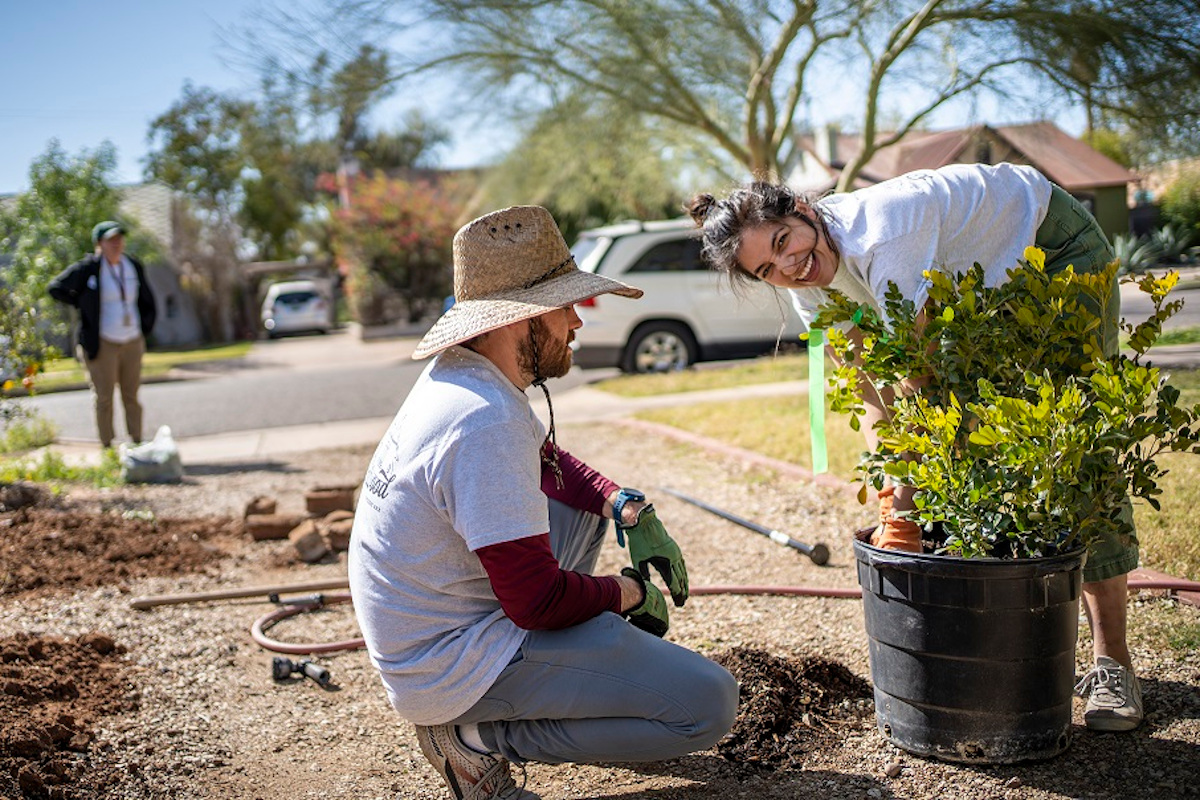
City-greening activities. City of Phoenix Government.
The benefits of a greener Phoenix
According to the FAO report ‘Forests and sustainable cities – Inspiring stories from around the world’, increasing tree cover in Phoenix to 25% could reduce the city temperatures by 2.4ºC. Moreover, greening the city streets brings all manner of other benefits: it reduces the number of pollutants, improving air quality; makes neighborhoods more popular and aesthetically appealing; and enhances people’s quality of life, creating work and leisure spaces.
In recent years, the concept of urban planning, nature and health all being interrelated has been gaining ground, thanks in part to theories like that of Cecil Konijnendijk. According to this Dutch urban planner, in order to lead a healthy life, everyone should be able to see at least three trees from their home or workplace, live in an area with at least 30% of plant cover and be less than 300 meters from a forest or park. Or, the 3-30-300 rule as he coined it.
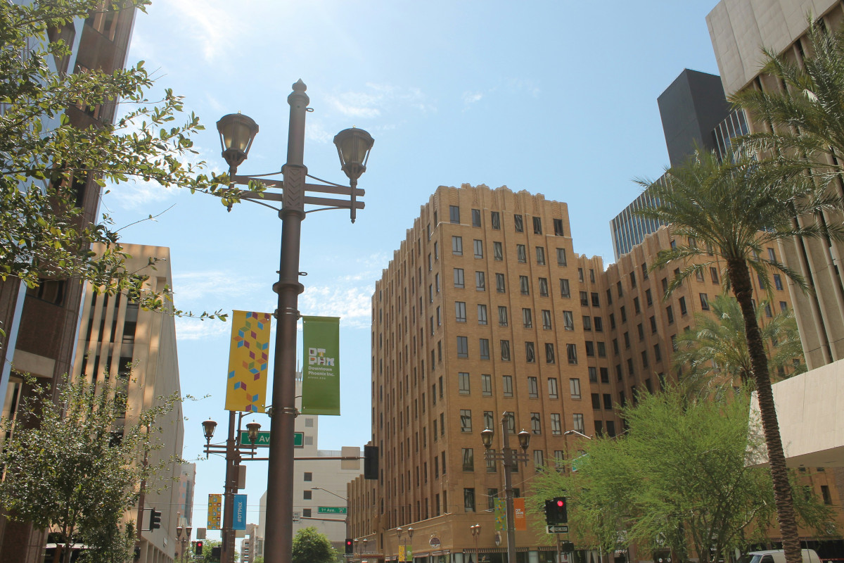
Main Avenue in Phoenix. James Day (Unsplash)
As the FAO points out, if green spaces are increased along with the right urban planning, green infrastructures can help to establish solutions for other problems in the city. “When fully integrated into local urban planning and management, trees and forests can help transform cities into more sustainable, resilient healthy, equitable and pleasant places to live”, explains the report.
“Although every tree makes a contribution to the quality of city life, the integration of trees and forests into networks of green spaces will maximize the benefits. For example, properly planned and managed urban spaces help regulate water flows in cities by intercepting and absorbing rainfall; create a favorable environment for animals and plants, thus contributing to biodiversity conservation; and provide spaces for physical exercise and recreation, thus increasing the wellbeing, social cohesion and health of populations”, they add.
And improvements like these have an impact on the economy. In 2018, when the FAO study was published, trees planted in Phoenix were already generating profits of almost 8 million dollars a year. It’s hoped that achieving their objectives could result in profits of over 40 million dollars per year.
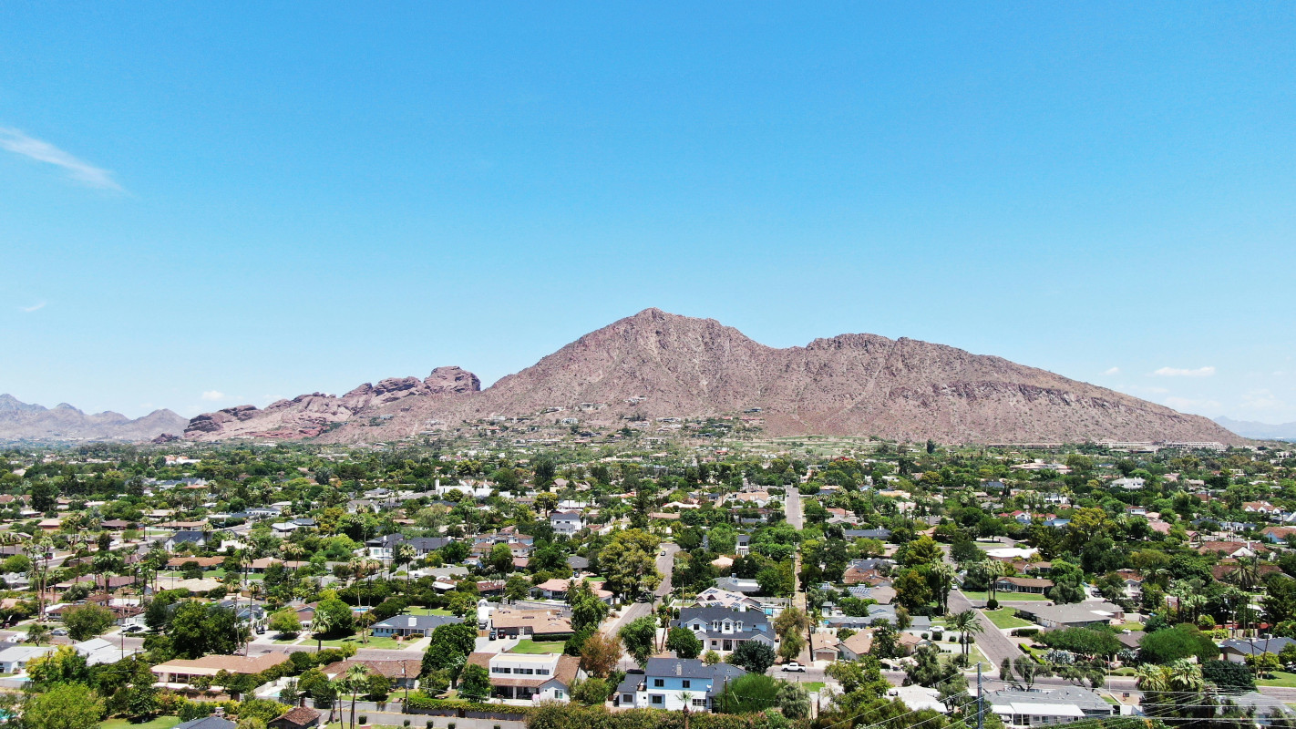
Aerial photo of the north of the city. Chris Tingon (Unsplash)
The city is also facing several challenges. The main one is to ensure equality between neighborhoods (according to The Guardian newspaper there is a notable difference in green spaces between the richest and most disadvantaged neighborhoods). Another key issue is making sure the trees planted grow healthily and can adapt to the changing climate. This guarantees the benefits reaped by greening the city can be enjoyed for generations to come.


There are no comments yet