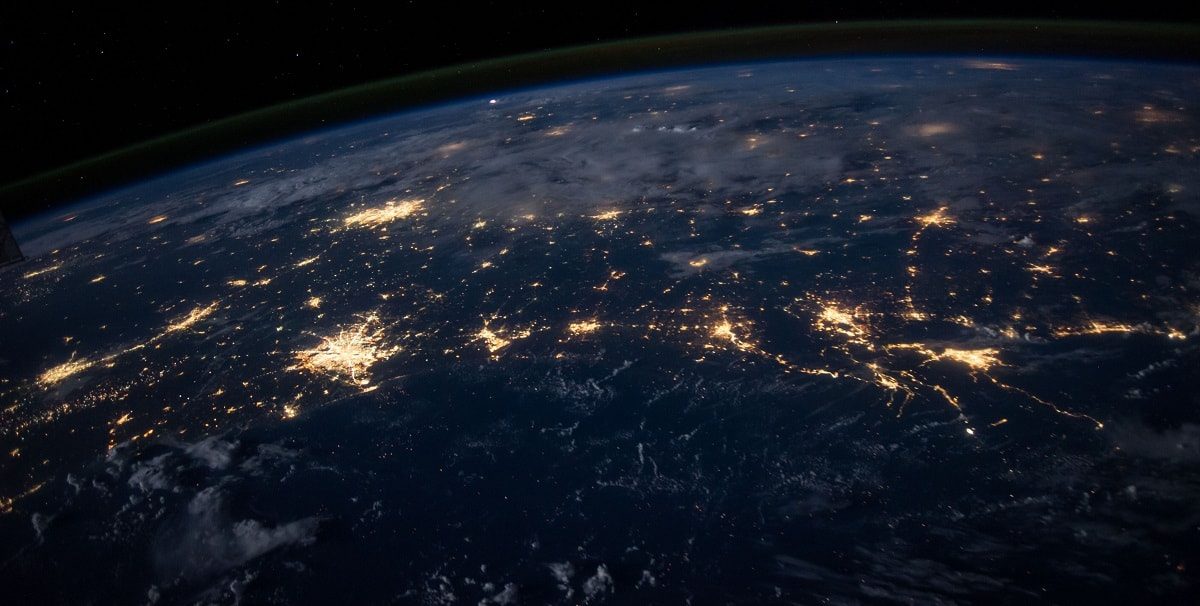

There is a sort of echo that we don’t hear, that doesn’t have a sound, but that all objects and living beings can create and, only satellites can detect where they come from.
The majority of the sensors on satellites emit electromagnetic waves, which interact with the matter they meet through a whole series of mechanisms related to the composition and structure of the object.
These mechanisms modify the characteristics of the electromagnetic wave (spectrum, direction, intensity, etc.) in such a way that we can identify properties of that object. For example, the spectral reflectivity of the electromagnetic wave in radar bands coming off of a surface gives us information on roughness, geometric structure, surface morphology, and more.
All objects and living things have a specific spectral footprint depending on their physical and geomorphological characteristics that consist of the graph that generates the radiation that the object reflects for different electromagnetic wavelengths.
Source: Unsplash | Author: The New York Public Library
The phrase “Remote Sensing” refers to not only collecting data from the air or from space, but also to its subsequent handling and analysis. The data obtained is a key source of information for managing natural resources, economic analyses, social analyses, land use planning, and urban planning.
One of the fundamental characteristics of remote sensors is their ability to record and distinguish between information in detail, which is known as sensor resolution. This term is more complex and involves at least four elements:
- Spatial resolution: this designates the smallest object that can be detected on an image, which is called a pixel. It has a primary role in interpreting the image since it determines the level of detail possible.
- Spectral resolution: this refers to the number and width of bands that the sensor can distinguish between.
- Radiometric resolution: this indicates the sensor’s sensitivity for detecting variations in the spectral radiance it receives.
- Temporal resolution: this is the frequency with which it acquires images from the same part of the surface.
Thus, remote sensing will grant us:
- Repetitiveness in obtaining data.
- Considerable data on the characteristics of the object obtained at a variety of wavelengths with analysis of multitemporal images.
- Precise, objective georeferenced data.
Now let’s try to imagine…if we think of possible uses for this technology in terms of the services that Ferrovial provides, countless applications come to mind. Let’s imagine that Ferrovial already has its own sensor in outer space. Let’s recall that, according to the Index of Objects Launched into Outer Space (managed by the United Nations Office for Outer Space Affairs, UNOOSA), there are almost 5,000 satellites currently in orbit, most of them privately owned. Now, let’s say that Ferrovial has a contract for waste collection, road cleaning, and green area maintenance, and that the satellite itself takes images of the area related to that contract. Suppose the technical setup of the sensor is as follows:
- Spatial Resolution: pixel size <50 cm
- Spectral Resolution: Visible + near-infrared.
- Radiometric Resolution: >8 bits.
- Temporal Resolution: 3-6 hours.
Using the appropriate software for handling satellite imagery and a human contract management team would enable making almost immediate decisions, as well as saving on costs by increasing efficiency in delivering the work. For example:
- For waste collection and road cleaning tasks: detecting furniture, equipment, or bulky waste on public roads with the temporal frequency of images obtained. Almost immediate resolution of this problem. It would eliminate vehicles “going in circles” to find such service needs.
- For green area maintenance work: watering these areas could be done when plants really need it. Images could enable detecting potential “water stress” on vegetation so that watering could be scheduled specifically during these episodes, resulting in saving water resources.
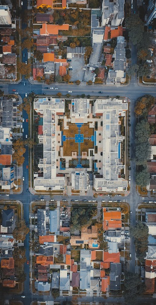
Source: Unsplash | Author: Sergio Souza
The images would also allow us to detect potential pests in vegetation before they crop up, thereby applying the appropriate phytosanitary treatments only when necessary.
- Let’s imagine that there is an unusual weather phenomenon (heavy snowfall, torrential downpours, etc.). The images would enable better emergency management, as well as for subsequently cleaning affected streets in a much more effective, efficient manner.
There are just a few small examples of usage for some specific tasks, but we can imagine many more applications. In conserving roads and urban infrastructures, these images would allow for daily monitoring of the status of the pavement, road markings, etc. In managing forest services, they would allow improvements in preventing, extinguishing, and investigating the causes of forest fires. As for managing public lighting, they would facilitate finding issues almost immediately.
In short, remote sensing could offer us much more efficient, effective resource management and a new way to carry out urban services or maintain infrastructure in a much more sustainable way. So why wait? Let’s allow our imaginations to run wild.


There are no comments yet